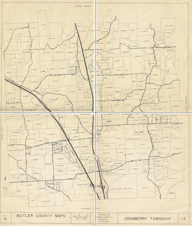
This is a 1960 map that is part of the CTHS collection. The map is the size of 4 sheets of 8.5 x 11 paper and has been neatly folded. The map was scanned into 4 jpgs, then assembled in an image editing program and printed to PDF. We will be looking into having the map scanned on a larger machine to have a one-piece scan. Click the image to view or download the 2.24 mb PDF file.