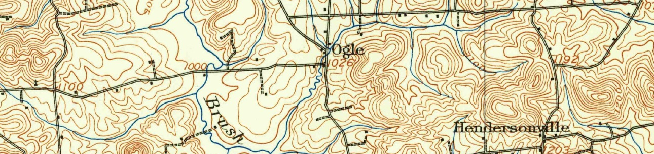
The station was called Franklin Road (See map on page 70). "Station was located on southeast corner of Franklin Road and had a through siding and agent." This does not add up.
- Right of way would have to have been acquired from Thomas Croft on the lot that would be donated to Hope Church in 1917 if it were the southeast corner.
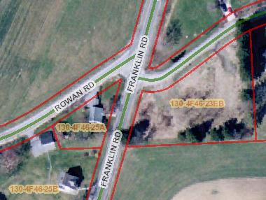
- 7393 Franklin Road at .465 acres makes more sense. It is closer to the right of way. Note Aerial Butler GIS Map.
- See Penn Pilot Aerial Photograph below from 10/2/1938. This is a zoom in of the downloaded hi resolution version.
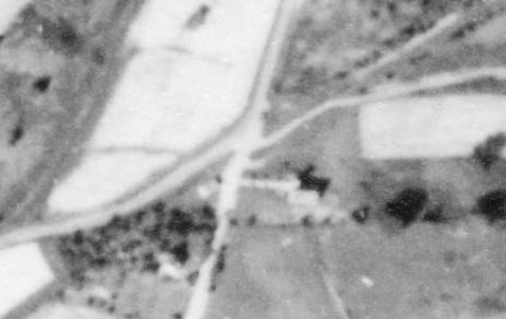
- Look at the telephone poles in the 1944 photo. They don't get moved unless they have to be. Locate the hilltop.
- Look at the telephone poles now. Locate the hilltop.
- Follow the chain of title.
- 2000-04-07 Maytan from Zelenak.
- 1996-07-12 Zelenak from McCanney
- 1986-08-01 McCanney from Henry
- 1984-03-26 Henry from Henry
- 1961-07-18 Henry from Davison
- 1951-08-18 Davison from Forsythe
- 1950-04-05 Forsythe from Ott
The last 3 deeds indicate an 18x30 one story frame building. See Butler County deed excerpt below.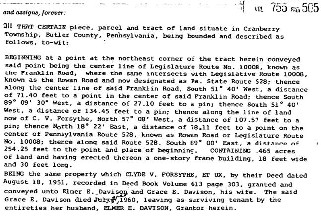
Ultimately, the parcel was part of the William Croft farm when the Harmony Line began operations. The PHB &NC Ry never owned the parcel where the station sat.