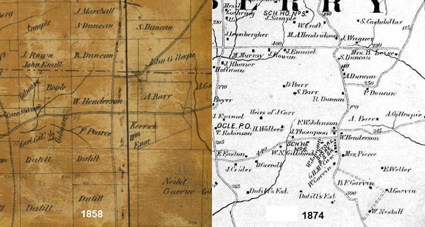
The 1858 and 1874 maps show the land owner W. Henderson. Henderson's lived there, built wagons there and the area became known as Hendersonville.
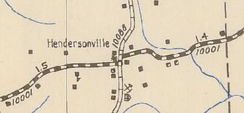
The name "Hendersonville" was not very well known outside of Cranberry and when Hendersonville got a Post Office in 1796, they named the PO "Trail". Nonetheless, Hendersonville appears on the 1941 and 1959 Butler County maps. See 1941 crop below.
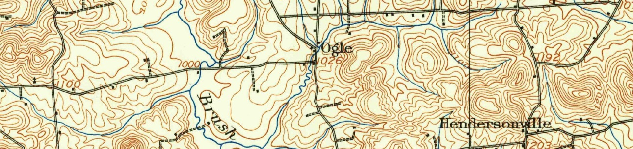
Note the pick and axe on the southeast corner. This is a mine, shaft or drift according to the symbol table on this map.