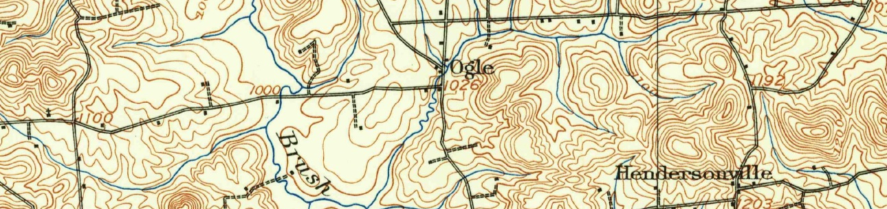
Maps to add (All of these can be found elsewhere online):
1800 Township Boundaries
1804 Township Boundaries
1850 Township Boundaries
1892 Depreciation Lands Map
1941 Butler County
1959 Butler County
Penn Pilot Aerial Project - would like to create some high-resolution tiles and have them in a clickable arrangement. Note that the Penn Pilot website has shut down. Their assets are now most easily accessible here: https://www.arcgis.com/apps/webappviewer/index.html?id=d17df63270154864…; Click the thumbnail to see a low res preview or the download link to download the zip file.
PA County formation and evolution slideshow - 80 or so slides